Funding Agency: Government of Nepal
Client: Department of Water-Induced Disaster Management, Pulchowk, Lalitpur
Date: April 2017 – February 2018
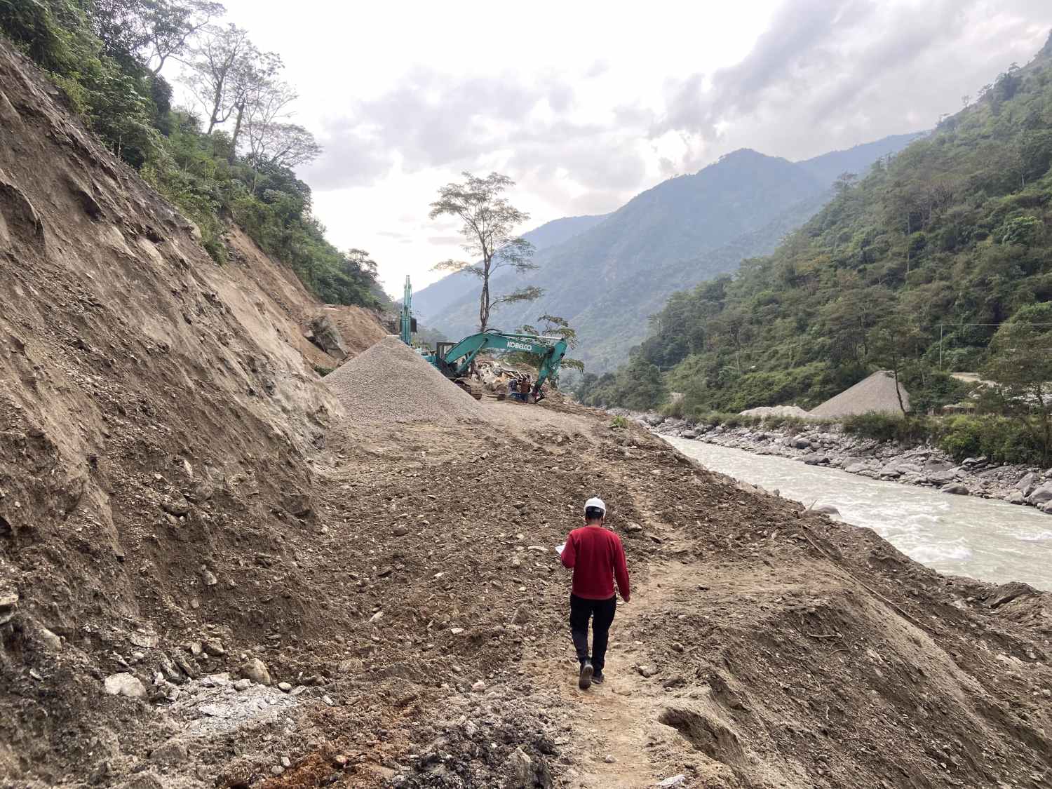
DWIDM intends to prepare a landslide inventory of the Gorkha Earthquake-affected districts. Further, DWIDM is going to undertake detailed studies on landslides and provide recommendations to the various concerned agencies. This mapping is expected to help for basic planning and programming the rehabilitation and mitigation works of the landslide-affected areas.
The main objective of landslide inventory is to cover the entire area affected by an earthquake-induced landslides, to locate them accurately, and to map them, depicting their true shapes.
The specific objectives of this study are to:
- To locate landslides in the Preparation of the landslide inventory of Dolakha, Ramechhap, Sindhuli, and Okhaldhunga districts.
- To clarify the features of all the landslides that occurred on the natural slope and the collapse mechanism.
- Identify and map the settlements and infrastructure that are likely to be affected by the landslides.
- To map and prepare a database of the landslides in GIS
- Provide the whole study report and data in an electronic copy on a CD-ROM.
- Provide an executive summary, conclusion, and recommendation
Description of actual services provided by your staff within the assignment:
The scopes of the consulting services will include, but not be limited to following:
- Carried out the study, collected data, and located the landslide
- Analyzed satellite images, extracted relevant data, and conducted field work using GPS to gather detailed information about the landslide.
- Clarified the features of the landslides that occurred on a natural slope and the collapse mechanism.
- Identified and mapped the settlements and infrastructure that are likely to be affected by the landslides.
- Analyze and prepare a landslide inventory and hazard map.